Weather Conditions in the Philippines
In Manila, Philippines, the weather is currently being influenced by a trough of a low pressure area (LPA) located outside the Philippine Area of Responsibility (PAR). This is causing scattered rain showers and thunderstorms in some areas of Mindanao, according to the Philippine Atmospheric Geophysical and Astronomical Services Administration (PAGASA).
On the other hand, there is a ridge of high pressure area (HPA) extending over the eastern sections of northern and central Luzon, as mentioned by weather specialist Rhea Torres from PAGASA. This extension of the LPA is bringing overcast skies with scattered downpours and thunderstorms to regions such as Davao, Cotabato, and Sarangani.
However, Torres also noted that the chances of this LPA entering PAR and developing into a tropical cyclone are very slim. Therefore, fair weather conditions can be expected in most areas of Luzon, thanks to the presence of the HPA ridge.
While the LPA is causing some disruptions in parts of Mindanao, the overall weather conditions in the Philippines remain relatively stable. The presence of the HPA ridge in Luzon is providing a shield against the potential development of a tropical cyclone. This is good news for residents and tourists alike, as it means that they can expect fair weather conditions in most areas of Luzon.
However, it is important to note that weather patterns can change quickly, and it is always advisable to stay updated with the latest forecasts from PAGASA. The LPA may still undergo some changes and could potentially affect other areas in the Philippines. It is crucial for everyone to remain vigilant and prepared for any sudden shifts in the weather.
In the meantime, residents in Mindanao should be prepared for the possibility of scattered rain showers and thunderstorms. These weather conditions can bring localized flooding and strong winds, so it is important to take necessary precautions and stay informed about any weather advisories or warnings issued by PAGASA.
Overall, the weather conditions in the Philippines are influenced by various factors such as the LPA and HPA ridge. While the current situation is relatively stable, it is always important to stay informed and prepared for any changes in the weather. By staying updated with the latest forecasts and following the advice of local authorities, residents and tourists can ensure their safety and well-being during these weather events. Understanding Low Pressure Areas (LPA) and High Pressure Areas (HPA)
Low pressure areas (LPAs) and high pressure areas (HPAs) are important weather systems that influence local weather conditions. LPAs are characterized by lower atmospheric pressure compared to the surrounding areas, while HPAs have higher atmospheric pressure.
LPAs are typically associated with unsettled weather conditions, such as rain showers, thunderstorms, and cloudy skies. They can sometimes develop into tropical cyclones, which are more commonly known as typhoons in the Philippines. However, not all LPAs have the potential to become tropical cyclones.
When an LPA forms, it indicates a region of rising air and instability in the atmosphere. As warm air rises, it cools and condenses, forming clouds and precipitation. The lower atmospheric pressure in an LPA creates a pressure gradient, which causes air to flow towards the center of the low. This convergence of air leads to the formation of clouds and precipitation.
In some cases, LPAs can intensify and develop into tropical cyclones. This occurs when favorable atmospheric conditions, such as warm sea surface temperatures and low vertical wind shear, provide the necessary fuel for the LPA to strengthen. As the LPA gains strength, it can become a tropical depression, tropical storm, or even a typhoon, depending on its wind speed.
On the other hand, HPAs are generally associated with fair weather conditions and weak winds. They tend to suppress cloud formation, resulting in clear skies and a lower chance of rain. The presence of an HPA ridge, as mentioned earlier, indicates stable weather conditions in Luzon.
When an HPA forms, it indicates a region of sinking air and stability in the atmosphere. As air sinks, it warms and dries out, inhibiting cloud formation. The higher atmospheric pressure in an HPA creates a pressure gradient, which causes air to flow away from the center of the high. This divergence of air leads to clear skies and dry conditions.
HPAs can also influence weather patterns by blocking the movement of weather systems. When an HPA is situated in a certain location, it can act as a barrier, preventing the approach of LPAs or other weather disturbances. This can result in prolonged periods of fair weather or a delay in the onset of rainy conditions.
In summary, LPAs and HPAs play a crucial role in shaping local weather conditions. LPAs bring unsettled weather, while HPAs bring fair weather. Understanding the characteristics and behavior of these weather systems can help meteorologists predict and forecast weather conditions more accurately.
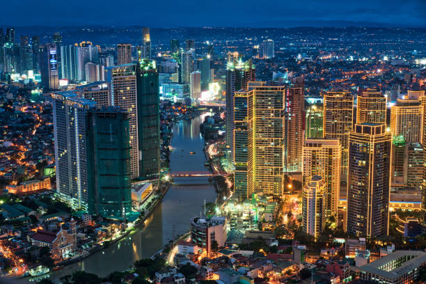
Localized thunderstorms are a common occurrence in Metro Manila, as well as in other parts of the country. These weather phenomena are a result of the convergence of warm and moist air masses, which create an unstable atmosphere conducive to thunderstorm development.
During the late afternoon or at night, when the sun’s heat is at its peak, the warm air rises rapidly, forming towering cumulonimbus clouds. These clouds are the hallmark of localized thunderstorms and are known for their dark, menacing appearance. As the warm air continues to rise, it cools and condenses, leading to the formation of raindrops within the cloud.
Once the raindrops become too heavy for the updrafts to support, they fall to the ground as rain showers. These showers can be intense and accompanied by thunder and lightning, creating a dramatic and sometimes intimidating display of nature’s power. Additionally, localized thunderstorms can also produce gusty winds, which can further enhance the weather event’s impact.
The coverage and intensity of localized thunderstorms can vary from one area to another. Some locations may experience only light rain showers and occasional thunder, while others may be subjected to heavier downpours and more frequent lightning strikes. This variability makes it crucial for individuals to stay updated with the latest weather advisories to ensure their safety and preparedness.
For residents of Metro Manila, being aware of the potential for localized thunderstorms is essential due to the city’s high population density and urban infrastructure. Heavy rainfall from these storms can lead to localized flooding, especially in low-lying areas with poor drainage systems. Strong winds associated with thunderstorms can also pose a risk to outdoor structures and trees.
In light of these potential hazards, it is advisable for residents of Metro Manila and other affected areas to take necessary precautions during localized thunderstorms. This includes staying indoors, avoiding open fields and bodies of water, and securing loose objects that may be blown away by strong winds. It is also crucial to have access to reliable weather information to receive timely updates and warnings from authorities.
Localized thunderstorms are just one aspect of the dynamic and ever-changing weather patterns in the Philippines. With its tropical climate and proximity to large bodies of water, the country is prone to a wide range of weather events, including typhoons, monsoons, and heatwaves. Therefore, it is essential for individuals, communities, and local authorities to prioritize preparedness and resilience in the face of these weather challenges.


